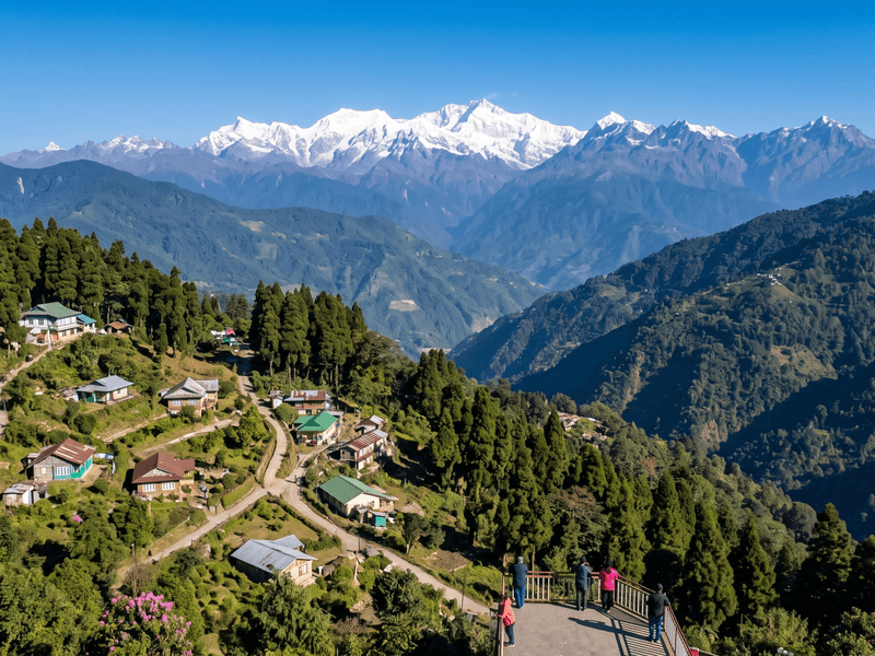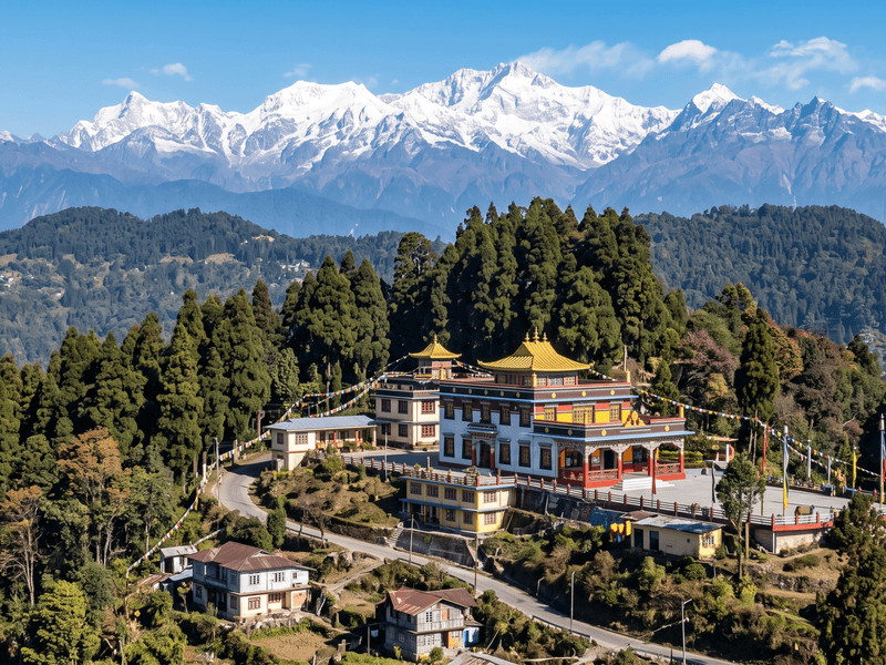
Bindu and its slightly larger neighbour Jhalong sit in the same district as Kalimpong and Lava but feel like a different region entirely — low-altitude, riverside, and built around the Jaldhaka river rather than a ridge view. It's the outlier in this group's usual hill-station offering, and a genuinely different kind of two or three days: cooler water instead of cooler air, forest instead of pine ridge, and a Bhutan border crossing point instead of a monastery.
## Getting there from NJP
Bindu is the furthest of this group from NJP — around 130 km and a full 4 hours by road, routed through Kalimpong or via Gorubathan and Suntalekhola depending on conditions, before dropping down out of the hills toward the river valley. This is a longer and more variable drive than the others in this cluster; road conditions along the lower stretch, closer to the river, are more exposed to monsoon damage than the well-used Kalimpong–Lava corridor. A reserved car or larger vehicle for groups is the standard way in; this isn't a route with regular shared-jeep service the way Kalimpong is.
## When to go
Bindu is best visited outside the monsoon. October through March covers the reliable window — cooler, dry-season river levels, stable roads, and comfortable daytime temperatures given the lower altitude. April and May bring rising heat lower down in the valley compared to the hill villages above, and June through September is a genuine monsoon risk zone: the Jaldhaka can rise fast, the lower road can wash out or become impassable for a day or more, and this is not a period to book without flexibility built into the plan. This seasonal caution is stronger here than anywhere else in this group — Bindu is the one destination on this list where monsoon travel plans need a real backup, not just an umbrella.
## What to do
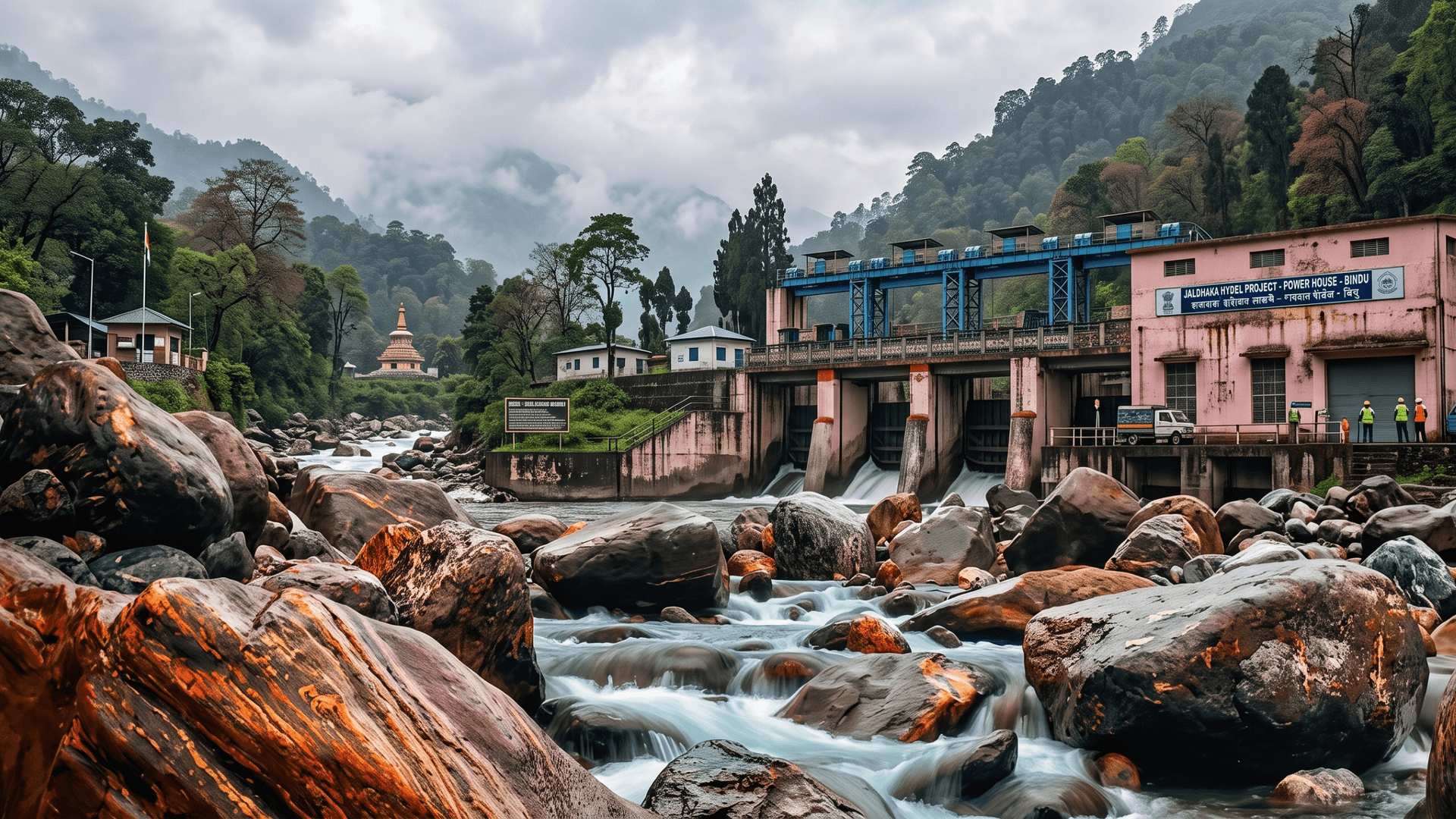
The Jaldhaka Hydel Project dam and reservoir are the area's best-known landmark, and the riverside itself — cold, clear water running down from the hills — is the main draw for a slower, less structured two days. Jhalong, a short drive downstream, has its own stretch of riverbank and is often paired with a Bindu stay. The Bhutan border is close enough that the border checkpoint area is a common short excursion, though crossing itself isn't the point for most visitors — it's more about the novelty of standing at the edge of it. This is forest and river territory rather than monastery-and-viewpoint territory, and groups should come with that expectation rather than a Kolakham-style itinerary.
## What's hard about it
This is the least developed destination in the group: mobile network is unreliable to absent in stretches, there's no ATM, and the drive itself is longer and rougher than the Kalimpong cluster. Because it's a border area, it's sensible to carry photo ID for everyone in the group — local checks do happen periodically, and having ID on hand avoids any friction. The monsoon caution above is worth repeating: this is the one destination in this set where a booking should build in a plan B.
## Where to eat on the way
Kalimpong, if that's the route taken, is again the last serious food stop with real variety. Along the lower route through Gorubathan or Suntalekhola, options are sparse — small local eateries rather than anything with a wide menu. As with the higher villages, plan on the homestay kitchen for meals once in Bindu or Jhalong itself; there's very little else in the immediate area.
-1-800x600.png&w=1920&q=75)